Gallery Title
Gallery Title
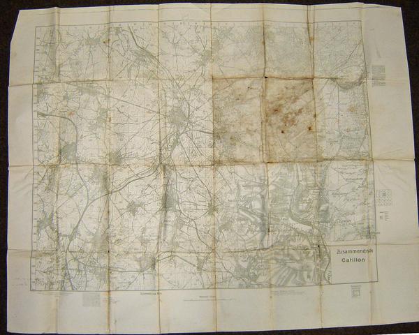
Zusammendruck Catillon
Accession Number NWHRM : 6510.1
Description
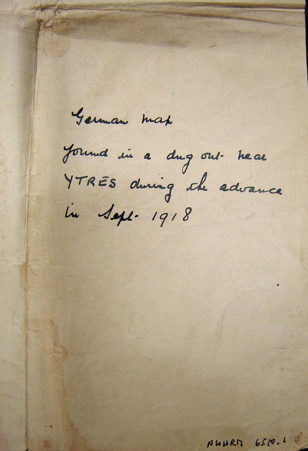
A first edition German paper grid map of Northern France written fully in German made by the German Army Cartographers. The map extends from Viesly in the Northeast corner, Becquigny in the Sourtheast corner, Oisy and Bergues in the Southwest corner, and Landrecies and Fontaine in the Northwest. The map displays towns, roads, and geographical features. The scale at the base indicates a 1/25,000 size to the area. To the right of the map holds a disclaimer and means of use. It was found in a dug-out near Ypres during the advance in September 1918.
Measurements
840 mm
Department
Royal Norfolk Regimental Museum


