
Gallery Title
Gallery Title
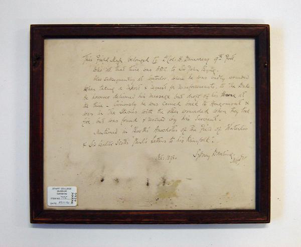
Field map formerly belonging to Colonel Dumaresq (IX Foot), presented by his nephew Major General S Darling, 1901
Accession Number NWHRM : 6266
Description
Framed hand drawn field map in pen and ink showing part of the Western Pyrenees from Bayonne in the north, Ascain to the south, Cambo to the west and on the River Nive and Biaritz on the coast. It was drawn by H. Dumaresq, part of the 9th Foot, in 1813. The map depicts towns and rivers of this area situated alongside a scale in the bottom right corner with approximately 2 British Miles to the inch. Marked in pencil on the map are locations of army divisions in the area along with the cartographer's personal name and other markings.
Artist
Dumaresq, H.
Creation Date
1813
Measurements
135 mm
Department
Royal Norfolk Regimental Museum


